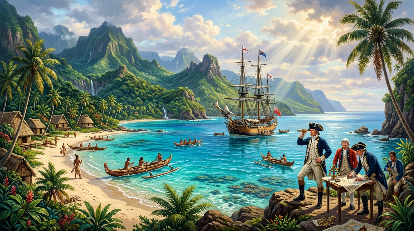
Executive Hydrographic Dispatch & Voyage Metrics
Commissioned By: The British Admiralty & Royal Society | Voyages: First (1768–1771), Second (1772–1775), Third (1776–1779) | Primary Ships: HMS Endeavour, HMS Resolution, HMS Adventure, HMS Discovery | Key Achievements: First accurate chart of New Zealand, mapping Australia’s east coast (Botany Bay), disproving Terra Australis Incognita, discovery of Hawaii (Sandwich Islands), pioneering citrus scurvy prevention.
When Lieutenant James Cook sailed from Plymouth in August 1768 aboard the converted Whitby collier HMS Endeavour, the Pacific Ocean occupied one-third of the globe yet remained largely a void on European admiralty charts. For centuries, geographers clung to the classical Ptolemaic theory of Terra Australis Incognita—a colossal, mythical southern continent postulated to exist purely to counterbalance the landmass of the Northern Hemisphere.
Over the span of eleven years and three unprecedented maritime expeditions, Cook dismantled this ancient geographical fiction. Combining formidable self-taught mathematical astronomy, peerless cartographic draftsmanship, and humane naval discipline that conquered scurvy, Cook charted thousands of miles of coastline from the sub-Antarctic ice fields to the volcanic archipelagoes of Polynesia and the frozen Arctic waters of the Bering Strait.
From Whitby Collier to Master Surveyor
Unlike the aristocratic officers who dominated the 18th-century Royal Navy, James Cook was the son of a Scottish farm laborer from Marton, Yorkshire. Apprenticed at seventeen to a Whitby coal shipper, Cook learned practical seamanship in the brutally cold, shallow waters of the North Sea aboard sturdy, flat-bottomed coal barques. This upbringing gave him an instinctive feel for coastal hydrography, tidal mechanics, and ship stability.
Enlisting as an ordinary seaman in the Royal Navy in 1755 at the outbreak of the Seven Years’ War, Cook’s mathematical genius rapidly elevated him to Master of HMS Pembroke. During the 1759 British assault on French Quebec, Cook executed a daring nighttime hydrographic survey of the treacherous St. Lawrence River traversing the Traverse shoal under fire, allowing General James Wolfe’s fleet to land undetected. Cook’s subsequent master charts of Newfoundland—accurate to modern satellite standards—prompted the Admiralty and the Royal Society to select him to command the 1768 scientific voyage to the Pacific.
The First Voyage: Transit of Venus and New Zealand (1768–1771)
The public mission of the Endeavour was celestial astronomy: observing the rare Transit of Venus across the disc of the sun from the island of Tahiti on June 3, 1769. By recording the exact timing of the transit from widely separated points on the globe, astronomers hoped to calculate the astronomical unit (the distance from the Earth to the Sun).
However, inside Cook’s cabin lay a sealed Admiralty envelope containing secret instructions to be opened only after the astronomical observation was complete. The directive commanded Cook to sail south to 40° latitude in search of the Great Southern Continent, and if not found, to explore and survey the uncharted coastline of New Zealand first sighted by Dutch navigator Abel Tasman in 1642.
Charting New Zealand and Eastern Australia
Accompanied by wealthy naturalist Joseph Banks and Polynesian navigator-priest Tupaia, Cook sailed south into the roaring westerlies. Finding only open ocean, he turned west and made landfall on the North Island of New Zealand in October 1769. Over six relentless months, Cook circumnavigated both the North and South Islands, charting 2,400 miles of coastline with such precision that Cook Strait—the dangerous waterway separating the two main islands—was permanently placed on world maps.
Sailing west into uncharted waters, on April 19, 1770, crewman Zachary Hicks sighted the southeastern coastline of mainland Australia. Cook navigated into a wide bay teeming with unfamiliar botanical flora, naming it Botany Bay. Sailing northward, Cook narrowly escaped catastrophe in June when the Endeavour struck the razor-sharp coral of the Great Barrier Reef at night. By throwing six cannons, iron ballast, and water casks overboard, and fothering the hull (drawing a canvas sail packed with oakum and sheep’s wool beneath the keel), Cook beached the vessel for repairs, saving his men from drowning before formally claiming the eastern coast for Great Britain under the name New South Wales.
The Second Voyage: Demolishing the Southern Continent (1772–1775)
While Cook’s first voyage proved New Zealand and Australia were separate island landmasses, theoretical armchair geographers in London, led by Alexander Dalrymple, insisted that the true continental landmass still lay hidden in the high polar latitudes. In response, the Admiralty equipped Cook with two purpose-built ships: HMS Resolution and HMS Adventure.
Between 1772 and 1775, Cook conducted the most punishing high-latitude oceanic reconnaissance ever attempted. In three successive circumnavigations of the Southern Ocean, Cook sailed further south than any human before him. On January 17, 1773, the Resolution became the first ship in history to cross the Antarctic Circle (66°33′ S).
Navigating through towering icebergs, dense freezing fog, and hurricane-force blizzards that coated rigging in solid ice, Cook reached a record latitude of 71°10′ S on January 30, 1774, before being blocked by impenetrable pack ice. Convinced that any land mass south of the ice was perpetually uninhabitable and buried under ice sheets, Cook declared: “The risk one runs in exploring a coast in these unknown and icy seas is so very great, that I can be bold to say, that no man will ever venture farther than I have done.” The myth of a temperate Terra Australis was shattered forever.
The Third Voyage: The Search for the Northwest Passage and Death at Kealakekua Bay (1776–1779)
In 1776, Cook emerged from retirement to tackle the final great maritime puzzle: locating the Pacific entrance to the Northwest Passage connecting North America to the Atlantic. Sailing in HMS Resolution alongside HMS Discovery, Cook made a momentous accidental discovery in January 1778, becoming the first European to make contact with the Hawaiian archipelago, which he named the Sandwich Islands in honor of the First Lord of the Admiralty, the Earl of Sandwich.
Pressing northward along the Oregon and Canadian coasts, Cook threaded through the Bering Strait between Alaska and Siberia until ice walls at 70°44′ N halted further northern progress. Forced to retreat south for the winter, the ships returned to Hawaii, anchoring at Kealakekua Bay in January 1779 during the sacred indigenous festival of Makahiki, dedicated to the god Lono.
Initially received with divine honors by the Hawaiian nobility, relations soured when Cook departed and was forced to return just days later after the Resolution’s foremast snapped in a gale. On February 14, 1779, following the theft of a ship’s cutter, Cook went ashore with a detachment of nine royal marines to take King Kalaniʻōpuʻu hostage until the vessel was returned. A tense standoff erupted into violence on the rocky beach; struck from behind with a wooden club and stabbed through the neck in the surf, Cook was overwhelmed and killed at the age of fifty.
Chronological Timeline of Cook’s Pacific Expeditions
| Date | Expedition & Ship | Cartographic & Historical Milestone |
|---|---|---|
| August 26, 1768 | HMS Endeavour (1st) | Departs Plymouth with 94 men and scientific party under Joseph Banks. |
| June 3, 1769 | Tahiti Landfall | Successful scientific observation of the Transit of Venus across the Sun. |
| Oct 1769 – Mar 1770 | New Zealand | Charts 2,400 miles of coastline; discovers Cook Strait separating North and South Islands. |
| April – June 1770 | East Coast Australia | Lands at Botany Bay; survives Great Barrier Reef grounding; claims New South Wales. |
| January 17, 1773 | HMS Resolution (2nd) | First ship in recorded history to cross the Antarctic Circle (66°33′ S). |
| January 30, 1774 | Southern Ocean | Reaches record southern latitude of 71°10′ S; decisively disproves temperate Terra Australis. |
| January 18, 1778 | HMS Resolution (3rd) | First European encounter with Hawaiian Islands (Sandwich Islands). |
| February 14, 1779 | Kealakekua Bay, Hawaii | Cook killed during armed altercation on shore; ships return home under Charles Clerke. |
The Scientific Conquest of Scurvy and Marine Horology
Perhaps Cook’s most revolutionary contribution to maritime exploration lay in naval medicine and navigational instrumentation. In an era when naval expeditions routinely expected to lose fifty to seventy percent of their crews to scurvy (as Admiral George Anson did in 1740–1744), Cook did not lose a single crewman to scurvy on his three-year second voyage.
Cook enforced strict shipboard hygiene, daily ventilation of bilges with burning brimstone, dry uniforms, and mandatory consumption of sauerkraut, malt wort, and citrus syrups. For his treatise on scurvy prevention presented to the Royal Society, Cook was awarded the prestigious Copley Gold Medal in 1776.
Furthermore, Cook tested the prototype marine chronometer **K1** (crafted by Larcum Kendall based on John Harrison’s H4 chronometer) during his second voyage. By maintaining accurate Greenwich time across years of rolling oceans, the chronometer enabled Cook to calculate exact longitude anywhere on the planet for the first time in history, transforming cartography from speculative guessing into an exact mathematical science.
Key Archival Takeaways
- Empirical Method: Replaced mythical geographical balance theories with rigorous hydrographic soundings and celestial measurements.
- Navigational Precision: Pioneered the operational use of marine chronometers (Kendall K1) to resolve the historical longitude problem at sea.
- Medical Breakthrough: Demonstrated that strict nutritional discipline and fresh vegetables could completely eradicate scurvy on multi-year voyages.
Frequently Asked Questions (FAQ)
Why was the flat-bottomed Whitby collier chosen for the expedition?
Colliers built for the North Sea coal trade were robust, had immense storage capacity, drew very little water (allowing them to enter shallow river estuaries), and could safely rest upright on sandbanks if grounded by the tide—a feature that saved the Endeavour on the Great Barrier Reef.
What happened to Captain Cook’s body after his death?
In accordance with Hawaiian funerary customs for high chiefs, Cook’s body was disemboweled, baked to separate the flesh from the bones, and his bones were cleaned and preserved as sacred relics. After negotiations led by Captain James King, several of Cook’s bones were returned to the British, who buried them at sea in Kealakekua Bay with military honors.
Did Cook discover Australia?
No. Indigenous Australians had inhabited the continent for over 50,000 years. Furthermore, Dutch navigators like Willem Janszoon had charted parts of the northern and western coasts in 1606. Cook was the first European to sight, explore, and chart the lush eastern coastline of Australia.