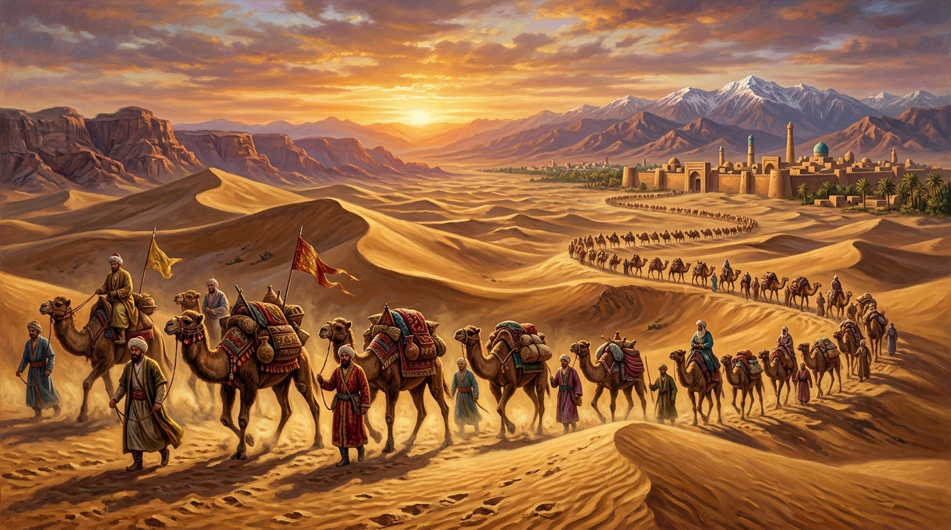
Executive Historical Dispatch & Route Matrix
Primary Era: Han Dynasty (130 BCE) through Ottoman Embargo (1453 CE) | Total Network Length: ~4,000 miles (6,400 km) across Eurasia | Key Terrain: Taklamakan Desert, Pamir Plateau, Hexi Corridor, Iranian Plateau | Core Commodities: Chinese silk, Roman glassware, Fergana horses, Central Asian jade, Indian spices, paper-making technology.
For more than fifteen centuries before European caravels unlocked oceanic global trade, the economic and cultural heartbeat of human civilization throbbed across the arid deserts, high mountain passes, and sprawling steppe grasslands of Eurasia. Known collectively as the Silk Road (a term coined in 1877 by German geographer Ferdinand von Richthofen as Seidenstraße), this sprawling grid of overland caravansaries did not represent a single paved highway, but rather an intricate, shifting vascular network of merchant routes stretching from the imperial Chinese capital of Chang’an (modern Xi’an) to the ports of Antioch, Tyre, and Rome.
The Silk Road was the crucible where world history accelerated. Beyond the transport of luxury textiles, raw silk, and Chinese ceramics, these mountain and desert trails functioned as conduits for botanical exchange, metallurgical advancements, philosophical revolutions, and the transcontinental transmission of paper-making, gunpowder, and the world’s major religions—Buddhism, Christianity, Manichaeism, and Islam.
Zhang Qian and the Diplomatic Inception of the Silk Road (138 BCE)
The institutional origin of the overland Silk Road was not purely commercial, but born of geopolitical and military desperation. In the second century BCE, the nascent Han Dynasty under Emperor Wu (Han Wudi) suffered constant devastation from nomadic Xiongnu confederation horse-archers raiding northern frontier commanderies.
In 138 BCE, Emperor Wu appointed an imperial court official named Zhang Qian to lead an exploratory diplomatic delegation of one hundred men into the uncharted “Western Regions” (modern Xinjiang and Central Asia). His mission was to forge an alliance with the Yuezhi, a nomadic people who had been driven westward by the Xiongnu. Shortly after departing the Chinese border, Zhang Qian was ambushed and captured by the Xiongnu, who held him in captivity for ten agonizing years.
Never relinquishing his imperial diplomatic insignia, Zhang Qian staged a daring escape with his loyal archer servant Ganfu, trekking through the terrifying shifting sands of the Taklamakan Desert and over the 15,000-foot passes of the Pamir and Tian Shan mountains. He traversed the fertile Fergana Valley (in modern Uzbekistan and Kyrgyzstan), the kingdom of Dayuan, and Bactria (northern Afghanistan). While the Yuezhi declined a military pact, Zhang Qian returned to Chang’an in 126 BCE with breathtaking geographical intelligence that revolutionized Chinese statecraft.
The “Heavenly Horses” of Fergana
Zhang Qian reported that great sedentary civilizations existed in Central Asia, possessing fortified walled cities, advanced viticulture (grape cultivation), and most crucially, the legendary “Heavenly Horses” (tianma) of Dayuan. These swift, powerful steeds—far superior in size and stamina to the diminutive steppe ponies of China—sweated crimson droplets and were vital to building a cavalry force capable of routing the Xiongnu. The desire to secure these horses sparked both imperial conquest and the permanent establishment of the Hexi Corridor garrison towns of Dunhuang, Zhangye, and Wuwei.
The Geography of Survival: Navigating the Taklamakan and Pamir Barriers
Overland travel across Central Asia presented some of the most unforgiving terrain on Earth. Merchants, monks, and emissaries faced natural barriers capable of claiming entire caravans within hours.
The “Sea of Death”: The Taklamakan Desert
The Taklamakan Desert, whose Uyghur name translates colloquially to “You go in, but you do not come out,” sits encased within the massive Tarim Basin. Spanning over 130,000 square miles of shifting crescent dunes up to 300 feet high, the desert was impassable directly. Caravans were forced to split into Northern and Southern routes, hugging the base of surrounding mountains where glacial runoff created oasis city-states:
- The Northern Route: Skirted the foot of the Tian Shan mountains, linking the critical oasis kingdoms of Hami, Turpan, Karasahr, and the monastic silk hub of Kucha, before converging at Kashgar.
- The Southern Route: Clung to the base of the Kunlun Mountains, connecting Miran, the jade capital of Khotan, and Yarkand, surviving on subterranean irrigation tunnels known as karez systems.
The Pamir Knot: The “Roof of the World”
At Kashgar, travelers confronted the terrifying verticality of the Pamir Mountains, where the Tian Shan, Karakoram, Kunlun, and Hindu Kush mountain chains converge. Squeezing along precipitous goat tracks at altitudes exceeding 14,000 feet, merchants suffered from acute altitude sickness, sub-zero blizzard winds, and sudden rockslides. Only the domesticated two-humped Bactrian camel—capable of carrying 450 pounds, enduring temperatures ranging from -40°F to 105°F, and surviving for weeks without water—made transcontinental overland freight possible.
The Sogdian Merchants: The Indispensable Middlemen of Eurasia
Contrary to modern romantic imagery, few individuals ever traversed the entire 4,000-mile length of the Silk Road from China to the Mediterranean. Instead, trade operated as an intricate “relay trade” system, where goods changed hands through dozens of intermediary merchants at border bazaars.
The masters of this continental relay were the Sogdians, an Iranian-speaking merchant civilization based in the oasis cities of Samarkand and Bukhara (in modern Uzbekistan). Fluent in multiple languages, literate in arithmetical accounting, and practicing Zoroastrianism, the Sogdians established commercial colonies and caravanserais in every major oasis from Chang’an to Constantinople.
Archival discoveries in 1907 by Sir Aurel Stein near Dunhuang—known as the Sogdian Ancient Letters—revealed intimate correspondence between Sogdian traders dating to 313 CE. Written on paper and wrapped in silk, these letters contained detailed reports on fluctuating silver prices, silk valuations, musk shipments, and geopolitical turmoil, demonstrating that Central Asia possessed a highly developed transnational banking and credit network centuries before the European Renaissance.
Chronological Timeline of the Silk Road Overland System
| Period / Date | Key Milestone | Historical & Commercial Consequence |
|---|---|---|
| 138 – 126 BCE | Zhang Qian’s Western Mission | Han Dynasty establishes official diplomacy and trade with Central Asian oasis kingdoms. |
| 1st Century BCE | Silk Enters Imperial Rome | Roman Senate decries the drain of gold and moral decadence caused by sheer Chinese silk imports. |
| 67 CE | Transmission of Buddhism | Indian monks arrive at Luoyang via the Silk Road, founding White Horse Temple. |
| 618 – 907 CE | Tang Dynasty Golden Age | Chang’an becomes the cosmopolitan metropolis of the world, hosting 25,000 foreign merchants. |
| 751 CE | Battle of Talas River | Abbasid Caliphate captures Chinese papermakers; papermaking spreads to Baghdad and Europe. |
| 1206 – 1368 CE | The Pax Mongolica | Genghis Khan and successors unify Eurasia under Mongol passports (paiza), enabling safe traversal. |
| 1453 CE | Fall of Constantinople | Ottoman control of eastern Mediterranean prompts Western Europe to seek oceanic routes, triggering the Age of Discovery. |
The Intellectual and Technological Transmission
While economic wealth fueled the caravans, the most enduring legacy of the Silk Road was intellectual cross-fertilization. The Mogao Caves at Dunhuang—a sacred network of 492 rock-cut temples preserved at the edge of the Gobi Desert—served as an immense depository of multicultural art, containing thousands of manuscripts written in Chinese, Sanskrit, Sogdian, Khotanese, Tibetan, and Hebrew.
Among the treasures recovered from Mogao Cave 17 was the Diamond Sutra, dated to May 11, 868 CE. Created using woodblock printing on mulberry paper, it stands as the world’s earliest dated complete printed book. Without the transmission of Chinese papermaking technology across Central Asia following the Battle of Talas in 751 CE, the Islamic Golden Age in Baghdad and the subsequent European printing revolution would have been delayed by centuries.
Key Archival Takeaways
- Relay Economy: Ancient trade operated through interlocking regional merchant circles rather than individuals trekking the entire span.
- Biological Symbiosis: The two-humped Bactrian camel and sophisticated subterranean water infrastructure (karez) made continuous desert transport possible.
- Intellectual Highway: Paper, block printing, navigational mathematics, and world religions traveled in tandem with high-value luxury freight.
Frequently Asked Questions (FAQ)
Who coined the term “Silk Road”?
The term was popularized in 1877 by the German geographer and geologist Baron Ferdinand von Richthofen in his multi-volume cartographic study China: The Results of My Travels and the Studies Based Thereon.
What was the main currency used along the Silk Road?
Currencies varied by region and era: Han and Tang bronze copper coins (cash) circulated in the east, Roman gold solidi and Byzantine nomismata dominated the west, while Sasanian silver drachms were favored across Sogdiana and Persia. In many regions, standardized bolts of silk fabric served as an official unit of currency.
Why did the overland Silk Road decline?
The network declined due to the fragmentation of the Mongol Empire in the 14th century, the expansion of maritime navigational technology (caravels, compasses) which made ocean freight exponentially cheaper and faster, and the rise of Ottoman trade tariffs following 1453.