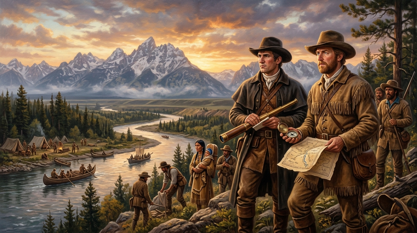
Executive Historical Dispatch & Archival Overview
Commissioned: 1803 by President Thomas Jefferson | Active Service: May 14, 1804 – September 23, 1806 | Total Distance: ~8,000 miles (12,875 km) round trip | Primary Vessel: 55-foot keelboat and pirogues | Lead Commanders: Captain Meriwether Lewis & Second Lieutenant William Clark | Key Objective: Find a viable water route to the Pacific Ocean, map trans-Mississippi geography, and catalog western fauna and flora.
When the United States concluded the Louisiana Purchase with Napoleonic France in 1803, doubling the young nation’s sovereign landmass for the sum of fifteen million dollars, the vast expanse west of the Mississippi River remained almost entirely terra incognita to European and American cartographers. Speculative maps of the era routinely depicted mythical woolly mammoths wandering temperate plateaus, mountains made of pure rock salt, and a navigable Northwest Passage—a gentle, continuous water route connecting the Atlantic commercial system to the Pacific trade winds.
To replace imperial folklore with empirical geographical science, President Thomas Jefferson commissioned the Corps of Discovery. He appointed his private secretary, Virginia militia veteran Meriwether Lewis, to lead the enterprise. Lewis, in turn, recruited his former superior officer, William Clark, to share command. Together, they orchestrated what remains the most methodically documented transcontinental reconnaissance in North American history—an epic journey that bridged imperial geopolitics, Native American diplomacy, botanical breakthroughs, and physical human endurance.
Geopolitical Origins: Jefferson’s Vision for the Continental Republic
President Thomas Jefferson’s ambition for western exploration predated the Louisiana Purchase by nearly two decades. As early as 1783, he had unsuccessfully petitioned Revolutionary War hero George Rogers Clark (William Clark’s elder brother) to lead a private expedition across the interior. Jefferson envisioned an “Empire of Liberty” stretching from the Atlantic seaboard to the Pacific coast, anchored by independent agrarian yeomen and dominant American commerce.
However, geopolitical rivals surrounded the continent. The British Hudson’s Bay Company and North West Company operated aggressive fur-trading posts throughout the Pacific Northwest and Upper Missouri; the Spanish Empire jealously guarded the borders of Alta California, Santa Fe, and the southern plains; and Imperial Russia maintained fortified trading outposts along the Alaskan rim. Establishing an overland presence was therefore not merely an academic endeavor, but a critical maneuver to prevent European hegemony over the western third of North America.
Jefferson personally prepared Lewis for the command. In the spring of 1803, he dispatched Lewis to Philadelphia and Lancaster, Pennsylvania, where the premier scientific minds of the American Philosophical Society instructed him in celestial navigation, medicinal botanicals, paleontology, and zoology. Lewis studied astronomical mathematics under Andrew Ellicott, anatomy under Dr. Caspar Wistar, and frontier pharmacology under Dr. Benjamin Rush. Equipped with sextants, chronometers, artificial horizons, and cryptographic ciphers, Lewis traveled to Pittsburgh to oversee the construction of a custom 55-foot keelboat.
Logistical Architecture: Equipping the Corps of Discovery
Frontier exploration in the early 19th century required absolute self-sufficiency. Lewis and Clark understood that once their party bypassed the French-Canadian trading hamlets near St. Louis, no resupply would be possible for thousands of miles. The logistical muster organized at Camp Dubois during the winter of 1803–1804 reflected calculated engineering and military precision.
Weapons, Ordnance, and Defensive Strategy
The party carried state-of-the-art military armaments, including 15 prototype Model 1803 Harpers Ferry flintlock rifles, surplus muskets, blunderbusses mounted on swivel pivots, and Lewis’s celebrated 0.46-caliber Girandoni air rifle. The air rifle—an Austrian-engineered repeating pneumatic gun capable of discharging 22 rounds in thirty seconds without smoke or gunpowder flash—served as a psychological deterrent during diplomatic councils, convincing Native tribes that the expedition possessed supernatural weaponry.
Scientific Apparatus and Trade Diplomacy
To fulfill Jefferson’s scientific mandate, the expedition carried celestial sextants, octants, an artificial horizon filled with mercury, spirit levels, surveying compasses, and pocket chronometers wrapped in oiled canvas. For trade and diplomatic protocols, Lewis purchased over twenty-one hundred pounds of peace medals (bearing Jefferson’s profile), brass wire, vermilion face paint, beads, hand mirrors, sewing needles, and scarlet flannel garments to establish diplomatic parley with indigenous nations.
Ascending the Missouri: May to November 1804
On May 14, 1804, William Clark led the 45-man detachment out of Camp Dubois, crossing the swollen Mississippi into the brown waters of the Missouri River. Lewis joined them shortly thereafter at St. Charles. For five grueling months, the Corps fought upstream against the Missouri’s ferocious six-mile-per-hour current, navigating treacherous shifting sandbars, submerged driftwood “sawyers,” and collapsing clay banks.
Propulsion required ceaseless physical labor. When favorable eastern breezes failed, the men relied on heavy sweeps (oars), setting poles, or “cordelling”—a tortuous technique where crewmen walked the muddy shoreline pulling the 10-ton keelboat by thick towlines over jagged stones, submerged brush, and leech-infested swamps. Despite the grueling conditions, only one casualty was sustained during the entire two-and-a-half-year journey: Sergeant Charles Floyd succumbed to what modern physicians diagnose as a ruptured appendix on August 20, 1804, near modern-day Sioux City, Iowa.
Winter at Fort Mandan and the Arrival of Sacagawea
By late October 1804, having traversed over 1,600 miles of river, the expedition reached the sophisticated agricultural earth-lodge villages of the Mandan and Hidatsa nations in modern North Dakota. Recognizing that the brutal Great Plains winter would freeze the Missouri solid, the Corps erected a triangular timber fortress christened Fort Mandan.
Here, temperatures plummeted to forty-five degrees below zero Fahrenheit. Yet Fort Mandan proved to be the diplomatic and strategic turning point of the mission. While wintering alongside the Mandans, Lewis and Clark engaged French-Canadian fur trapper Toussaint Charbonneau as an interpreter. Crucially, they agreed to bring along Charbonneau’s teenage Shoshone wife, Sacagawea, who had been captured by Hidatsa raiders years earlier from her Rocky Mountain homeland.
In February 1805, Sacagawea gave birth to her son, Jean-Baptiste (“Pomp”). When the expedition departed Fort Mandan in April 1805, her presence proved invaluable. In Native diplomatic protocols of the northern plains, war parties never traveled with women and nursing infants; her presence served as an unmistakable passport of peace. Furthermore, her intimate knowledge of edible roots, wild licorice, and Rocky Mountain topography repeatedly saved the expedition from nutritional collapse.
The Great Falls and the Bitterroot Mountain Ordeal
Departing Fort Mandan in two pirogues and six dugout canoes, the Corps entered the upper Missouri, where no white explorer had ever mapped the terrain. In June 1805, Lewis encountered the majestic Great Falls of the Missouri in central Montana. While awed by the cataracts, the realization dawned that an excruciating 18-mile overland portage would be required to bypass the five successive waterfalls.
Over eighteen days in suffocating summer heat, battered by hailstorms and prickly pear cactus spines that pierced double-soled moccasins, the men dragged their baggage and heavy dugout canoes over makeshift wooden wagons whose cottonwood wheels routinely shattered against the shale. By August, they reached the headwaters of the Missouri, expecting to find an easy descent to the Columbia River. Instead, climbing the Lemhi Pass along the continental divide, Lewis was greeted not by an open watercourse, but by endless, snow-capped ranges of the Bitterroot and Rocky Mountains.
Through Sacagawea’s intervention, the Corps negotiated with a band of Shoshone warriors who remarkably turned out to be led by her long-lost brother, Chief Cameahwait. The emotional reunion enabled the Americans to trade rifles, coats, and ammunition for twenty-nine pack horses. Guided by a Shoshone scout known as Old Toby, the Corps plunged into the Lolo Trail through the Bitterroot Mountains. In early autumn snowstorms, with game non-existent and rations exhausted, the men were reduced to slaughtering several pack colts and consuming portable soup paste to avoid starvation.
Reaching the Pacific and Fort Clatsop (1805–1806)
Emerging starved and exhausted from the Bitterroots, the expedition was rescued by the generous hospitality of the Nez Perce (Nimiipuu) nation, who fed the men dried salmon and camas roots on the Weippe Prairie. Having cached their horses, the Corps crafted new dugout canoes and rode the rapid currents of the Clearwater and Snake Rivers into the mighty Columbia.
On November 7, 1805, Clark penned his famous journal entry: “Ocian in view! O! the joy!” While technically looking at the tidal estuary of the Columbia River still twenty miles from the open sea, the Pacific Ocean was attained. Facing torrential winter gales, the expedition conducted an unprecedented democratic vote—in which both Sacagawea and Clark’s enslaved companion, York, were granted equal votes—to determine the location of their winter encampment. They selected a wooded ridge south of the Columbia, constructing Fort Clatsop.
During four months at Fort Clatsop, the men boiled seawater along the coast to extract vital salt, hunted elk, and endured near-constant rainfall (recording only twelve days without rain throughout the entire winter). Lewis spent hours meticulously transcribing botanical specimens and drawing detailed anatomical sketches of Pacific salmon, eulachon candlefish, and Douglas firs.
The Return Journey and Historical Separation
On March 23, 1806, the Corps vacated Fort Clatsop, rowing upstream against the Columbia to retrieve their cached horses from the Nez Perce. Upon crossing back over the Rocky Mountains in July, Lewis and Clark executed a brilliant tactical division to maximize cartographic reconnaissance:
- Lewis’s Northern Reconnaissance: Lewis led nine men northward to explore the Marias River, determining whether it extended north of the 49th parallel to grant the US claims on the Canadian fur trade. Near the Cut Bank River, Lewis’s party encountered eight Blackfeet warriors. Following an attempted rifle theft during the night, a brief skirmish ensued, leaving two warriors dead—the sole fatal conflict of the entire mission.
- Clark’s Yellowstone Exploration: Clark led the southern detachment down the Yellowstone River, carving his name and the date (July 25, 1806) into the sandstone formation of Pompeys Pillar, which remains the only visible physical inscription left by the expedition along the entire route.
Reuniting below the confluence of the Missouri and Yellowstone on August 12, the combined party raced downstream with the river current, covering up to seventy miles per day. On September 23, 1806, after two years, four months, and ten days, the Corps of Discovery arrived back in St. Louis to ecstatic public celebration, having long been mourned as lost to the western wilderness.
Detailed Chronological Timeline of the Corps of Discovery
| Date | Geographical Landmark | Historical Milestone / Strategic Action |
|---|---|---|
| April 30, 1803 | Paris, France | Louisiana Purchase signed, transferring 828,000 sq mi to United States. |
| May 14, 1804 | Camp Dubois, Illinois | Corps of Discovery officially embarks, ascending the Missouri River. |
| August 20, 1804 | Sioux City, Iowa | Sgt. Charles Floyd passes away from appendicitis (sole casualty). |
| Nov 1804 – April 1805 | Fort Mandan, North Dakota | Winter camp erected; Sacagawea and Charbonneau recruited to the expedition. |
| June 13 – July 2, 1805 | Great Falls, Montana | Brutal 18-mile overland portage around the five cascades of the Missouri. |
| August 17, 1805 | Camp Fortunate, Montana | Sacagawea reunites with brother Cameahwait; Shoshone horses acquired. |
| September 1805 | Bitterroot Mountains | Lolo Trail crossing through freezing blizzards; near starvation. |
| November 1805 | Columbia River Mouth | Pacific Ocean reached; democratic vote held to select Fort Clatsop site. |
| July 25, 1806 | Pompeys Pillar, Montana | Clark carves inscription into sandstone rock face along Yellowstone. |
| September 23, 1806 | St. Louis, Missouri | Corps arrives home after 8,000 miles, completing epic transcontinental journey. |
Scientific, Cartographic, and Geopolitical Legacy
The achievements of the Lewis and Clark Expedition permanently altered the geopolitical trajectory of North America. Scientifically, Meriwether Lewis described and preserved specimens of 178 botanical species and 122 zoological species previously unknown to Western science, including the grizzly bear, prairie dog, bighorn sheep, pronghorn antelope, and bitterroot plant.
Cartographically, William Clark produced a master manuscript map of the American West that dismantled centuries of European myth. By showing that the Rocky Mountains constituted a massive, hundreds-of-miles-wide barrier rather than a narrow ridge, Clark decisively closed the book on the centuries-old dream of a simple waterborne Northwest Passage. In doing so, the expedition paved the theoretical and territorial foundations for the Oregon Trail, American commercial fur empires, and eventual transcontinental rail expansion.
Key Archival Takeaways
- Diplomatic Realism: Rather than conquest, the expedition’s survival depended upon reciprocal indigenous diplomacy with over two dozen distinct sovereign nations.
- Scientific Exactitude: Lewis and Clark kept redundant weather, geographical, and astronomical logs in tin dispatch boxes, preventing catastrophic loss of data.
- Geopolitical Shift: Their presence secured United States sovereign claims in the Oregon Country, laying the groundwork for the 1846 Oregon Treaty with Britain.
Frequently Asked Questions (FAQ)
Did Lewis and Clark find the Northwest Passage?
No. Their expedition proved conclusively that an uninterrupted navigable commercial water route across North America did not exist, demonstrating that the Continental Divide consists of formidable, interconnected mountain chains.
How many men were in the Corps of Discovery?
The permanent party that traveled from Fort Mandan to the Pacific Ocean consisted of 33 individuals, including 29 soldiers and civilian woodsmen, William Clark’s enslaved manservant York, French interpreter Toussaint Charbonneau, Sacagawea, and her infant son Jean-Baptiste.
What happened to Meriwether Lewis after the expedition?
Appointed Governor of the Upper Louisiana Territory by Thomas Jefferson, Lewis struggled with bureaucratic debts, political factionalism, and severe depression. On October 11, 1809, while traveling along the Natchez Trace toward Washington D.C., Lewis died under tragic circumstances of gunshot wounds at Grinder’s Stand inn at age 35.